The Inventory Blind Spot: Why Mass Extrapolation & Single-Point Leveling Fail
For decades, mine operators and bulk material handling facilities have relied on mass extrapolation via belt scales or single-point level measurement to estimate inventory. However, calculating theoretical weight or measuring a single vertical distance does not constitute true inventory management.
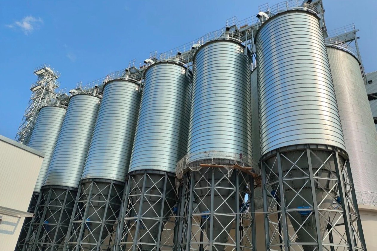
Bulk solids behave unpredictably. Heavy dust generated during crushing, loading, and feeding operations, coupled with variable moisture and material discharge dynamics, frequently complicates the environment inside silos, making it difficult to calculate the volume of materials accurately. When management relies on legacy measurement paradigms, they operate with a critical operational blind spot:
- Mass Extrapolation (Belt Scales): Relies on input/output throughput formulas. Cumulative measurement errors compound rapidly over time and fail to account for material compaction or structural hang-ups, resulting in severe discrepancies between recorded accounting data and physical stock.
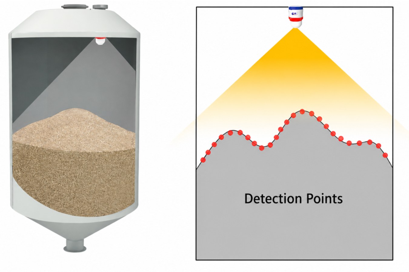
- Single-Point Leveling: Fires a single beam to the material surface. If the beam hits the peak of an asymmetrical cone, the silo appears full; if it hits a rat-hole, it appears empty—providing zero insight into the actual 3D topography.
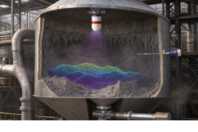
- 3D Volumetric Mapping: Generates a continuous, high-density spatial grid across the entire material surface. It calculates true volume and mass based on thousands of measurement points, visualizing the exact surface topography in real time.
The New Paradigm: 3D Volumetric Surface & Silo Transparency
Achieving true silo surface transparency requires advanced sensor architecture capable of penetrating extreme industrial dust while delivering continuous, high-density spatial data.
Full-Stack Sensor Architecture: 3D Radar Array + 3D LiDAR
- 80GHz FMCW 3D mmWave Radar (The Core Backbone): Engineered specifically for high-dust environments like iron ore crushing and feeding. Unlike LiDAR-only solutions, Rettar’s 80GHz FMCW radar penetrates thick dust clouds without signal distortion or lens degradation, delivering uninterrupted 24/7 scanning.
- 3D LiDAR Integration: For environments with lower dust concentrations or baseline calibration requiring ultra-dense point cloud precision, the system integrates high-density LiDAR point clouds, offering a flexible composite solution based on exact site conditions.
- Industrial-Grade Hardware Reliability: Equipped with built-in automatic angle correction and a dual-redundancy hardware architecture, the scanning systems with ATEX and IECEx explosion-proof certifications ensure zero operational downtime in harsh industrial environments.
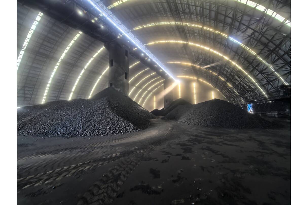
- Multi-Node Radar Array Networking: For ultra-large span silos, domes, and A-frame storage sheds, multiple units can be deployed in a collaborative network. The system automatically stitches multi-node point clouds into a single, unified 3D spatial model.
Enterprise Impact: Driving Data Transparency Across the Organization
Rettar’s 3D volumetric mapping extends far beyond field-level instrumentation; it serves as a foundational enterprise data infrastructure. Featuring dual-OS support (Windows/Linux), flexible wiring configurations, and multi-protocol communication, the platform seamlessly connects field sensors to the plant's central control platform and ERP systems.
- Finance & CFO (Asset Integrity): Precise volume-to-mass conversion ensures balance sheets reflect physical reality, eliminating cumulative extrapolation errors, audit risks, and end-of-month write-downs.
- Supply Chain & Logistics (Capacity Optimization): Real-time visibility into available silo capacity prevents dispatch bottlenecks, avoids raw material overstocking or shortages, and optimizes production shift scheduling.
- Operations & Safety (Risk Mitigation): Visualizing 3D surface topography enables operators to detect eccentric loading and bridging immediately, preventing catastrophic structural stress on silo walls and eliminating dangerous manual bin-climbing.
Field Case Study: 3D Radar Scanning in Iron Ore Surge Silos
- Facility & Storage Profile: Square iron ore crushed-stone surge bin requiring minimal structural modification via a single small roof opening.
- The Challenge: Heavy dust during loading and crushing caused conventional sensors to fail. Irregular crushed stone stacking created large measurement errors, high safety risks from manual climbing, and intuition-based inventory management. ·Hardware & Software Configuration: Deployment of one 3DPro2300 Radar Scanner per silo. Utilizing 80GHz FMCW technology, the unit performs 360° rotational scanning across over 16,200 discrete points. AI 3D spatial modeling automatically calculates maximum, minimum, and average material levels, volume, and mass for 24/7 monitoring.
- Operational Results:
- Data Accuracy: Replaced manual estimation with real-time 3D visualization and verified mass figures, providing a precise data basis for financial accounting.
- Operational Efficiency: Completely eliminated the need for high-risk manual bin-climbing and improved production shift stability.
- Cost Optimization: Prevented raw material overstocking and unexpected shortages, reducing overall warehousing and administrative costs.
Key Takeaways for Industry Leaders
Beyond iron ore crushed-stone surge bins, Rettar’s 3DPro2300 Radar Scanner is fully adaptable to a complete range of solid bulk storage scenarios, including raw coal bunkers, sand and gravel aggregate bins, grain silos, and powder storage tanks.
By replacing single-point distance estimation with multi-node 3D surface rendering, Rettar’s ATEX/IECEx certified 3DPro2300 Radar Scanner delivers total silo surface transparency, providing the crucial data foundation for modern smart mines.